Meet something thats ready to fit into your story, effortlessly.
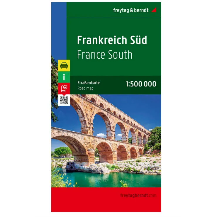
- Detailed, double-sided road map of Southern France with extensive index
- Shows the national road network and selected provincial and local roads, with each class of road clearly indicated and road numbers shown. Intermediate driving distances between locations are shown in kilometres alongside the road, motorway filling stations are shown, and motorway junctions are indicated
- International and provincial boundaries are clearly marked, as are National Parks, nature reserves and restricted military areas.
- Symbols indicate various sights & locations of tourist interest, such as churches, leisure & sports destinations, panoramas & viewing points, monuments and historic sites.
- Sights of particular interest are circled.
- Some hotels and campsites are marked
- Railway lines, airports, ports and marinas are also shown
Heres an item thats designed to simplify, not complicate.


