Meet an item thats ready to become a household staple.
- Divided highways, major roads, secondary roads, main thoroughfares, minor streets, lanes / private streets, interchange numbers, one way streets, railways, VIA Rail Stations, ferries, carpool parking, border crossings, international boundaries, provincial boundaries, municipal boundaries, recreation trails, parks / conservation areas, golf courses, commercial areas, cemeteries, institutional areas, industrial areas, special attraction areas, Indian Reserves, National Defence, hospitals, tourist information centres, police stations, fire halls, municipal / regional buildings, courthouses, libraries, points of interest, beer stores, liquor stores, casinos, marinas / yacht clubs, national parks / historic sites, arenas, community / recreation centres, pools, baseball, soccer, tennis, skiing, campgrounds, public and catholic schools
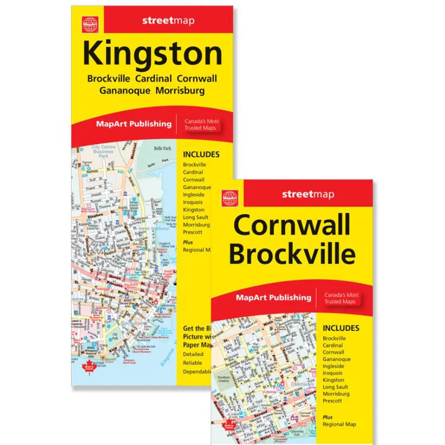
- The Kingston / Brockville, Cornwall folded map includes detailed city mapping at 1:25,000 of Kingtson, Gananonque, Brockville, Prescott, Iroquois, Cardinal, Morrisburg, Cornwall
- The Long Sault Parkway, Ingleside and Long Sault are featured at 1:50,000 and downtown Kingston at 1:17,500
- Street indexes of each community, a legend and a regional map at 1:889,000 is included
- Dimensions: Folded: 10.2 x 23.5 cm (4 x 9.25 inches) Unfolded: 68.6 x 99.7 cm (27 x 39.25 inches)
Discover the beauty of a product that doesnt overcomplicate.


