Heres a piece that adapts to your way of living.
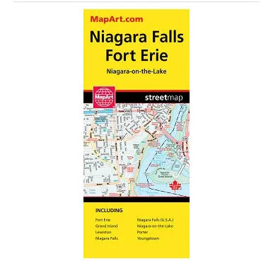
- Includes detailed city mapping at 1:28,000 of Fort Erie, Grand Island, Lewiston (USA), Niagara Falls, Niagara Falls (USA), Niagara-on-the-Lake, Porter (USA), Youngstown (USA), street indexes of each community, and a legend.
- The detailed city map features include divided highways, major roads, secondary roads, main thoroughfares, minor streets, lanes / private streets, interchange numbers, one way streets, street address numbers, Interstate highways, railway, VIA Rail stations, bus stations, border crossings, international boundaries, municipal boundaries, recreation trails, niagara escarpment, park s/ conservation areas, golf courses, commercial areas, cemeteries, institutional areas, industrial areas, special attraction areas, Indian reserves, National Defence, hospitals, tourist information centres, police stations, fire halls, libraries, points of interest, beer stores, liquor stores, wineries, casinos, national parks / historic sites, arenas, community / recreation centres, pools, baseball, soccer, tennis, cross-country skiing, campgrounds, public schools and catholic schools.
A reliable choice that never feels outdated.


