Its the kind of addition youll wonder how you lived without.
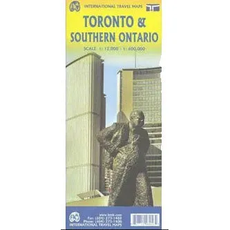
A detailed map of Toronto and a road map of southern Ontario to help you find your way around
Ideal for preparing your trip, planning your route and getting around independently in the different areas of the city
The Toronto plan covers downtown, from the Waterfront to St. Clair and from High Park East to Don Valley. The road map covers the area from Detroit / Windsor in the west to Ottawa in the east; it also includes the US locations of Cleveland, Buffalo, Rochester and Syracuse
Legend in English
This map contains an index of streets and towns and some tourist information is identified with symbols
Double-sided card
A simple choice that feels like a treat.


