The kind of item that makes you smile every time you use it.
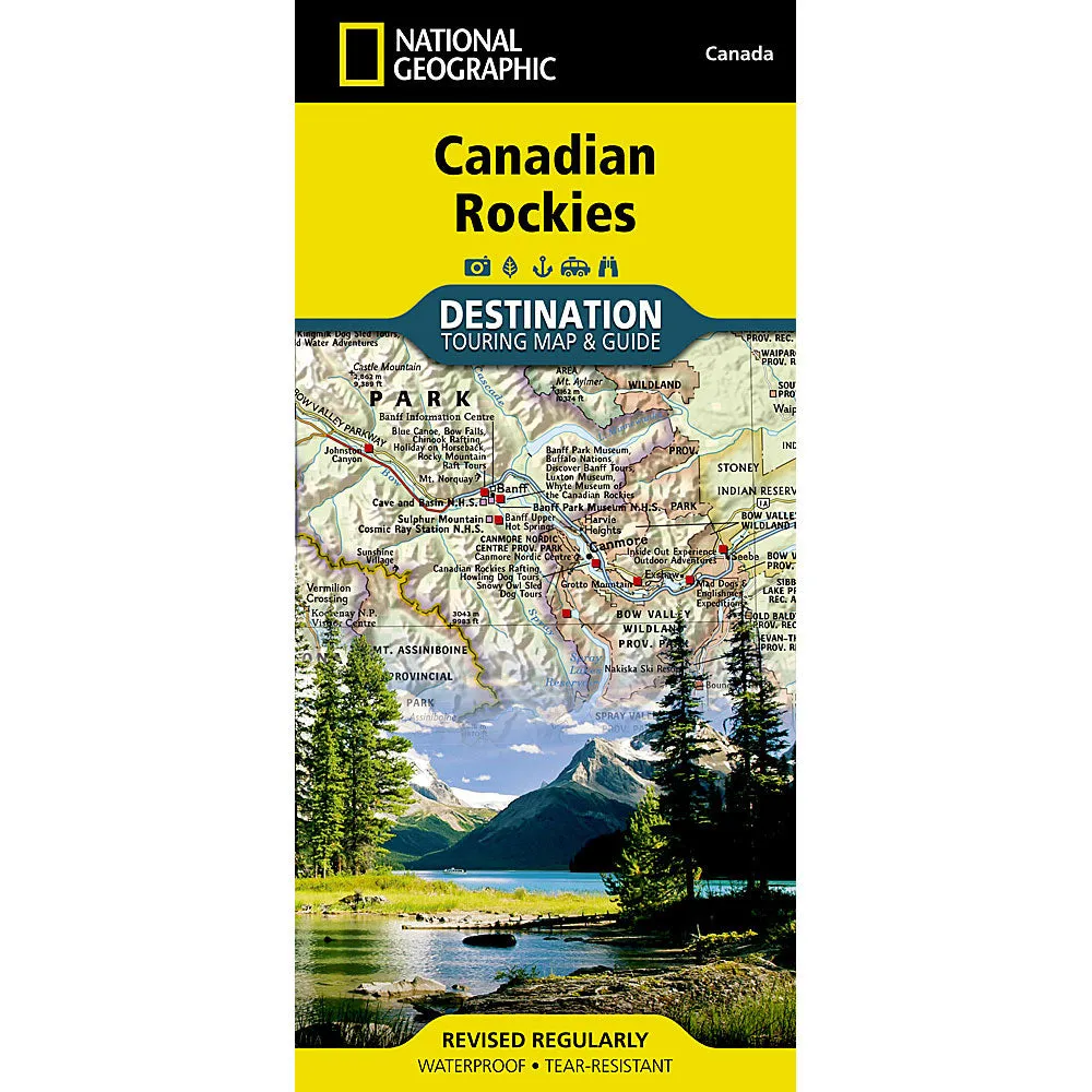
- The front side of the Canadian Rockies DestinationMap reveals a map of the Alberta-British Columbia border region in the range's southern half
- Jasper, Banff, Yoho, Glacier, and Kootenay National Parks are featured as well as a comprehensive road network
- Including the Trans-Canada highway and Icefields Parkway. Indian reserves, provincial parks, protected and natural areas, wilderness, and recreation areas are featured on the map
- Visitor resources including airports, buses and shuttles, railways and parks and camping services are featured as well
- Waterproof and tear -resistant
* The map is in English
Meet a piece thats designed to bring a little happiness.


