A versatile find thats up for any challenge.
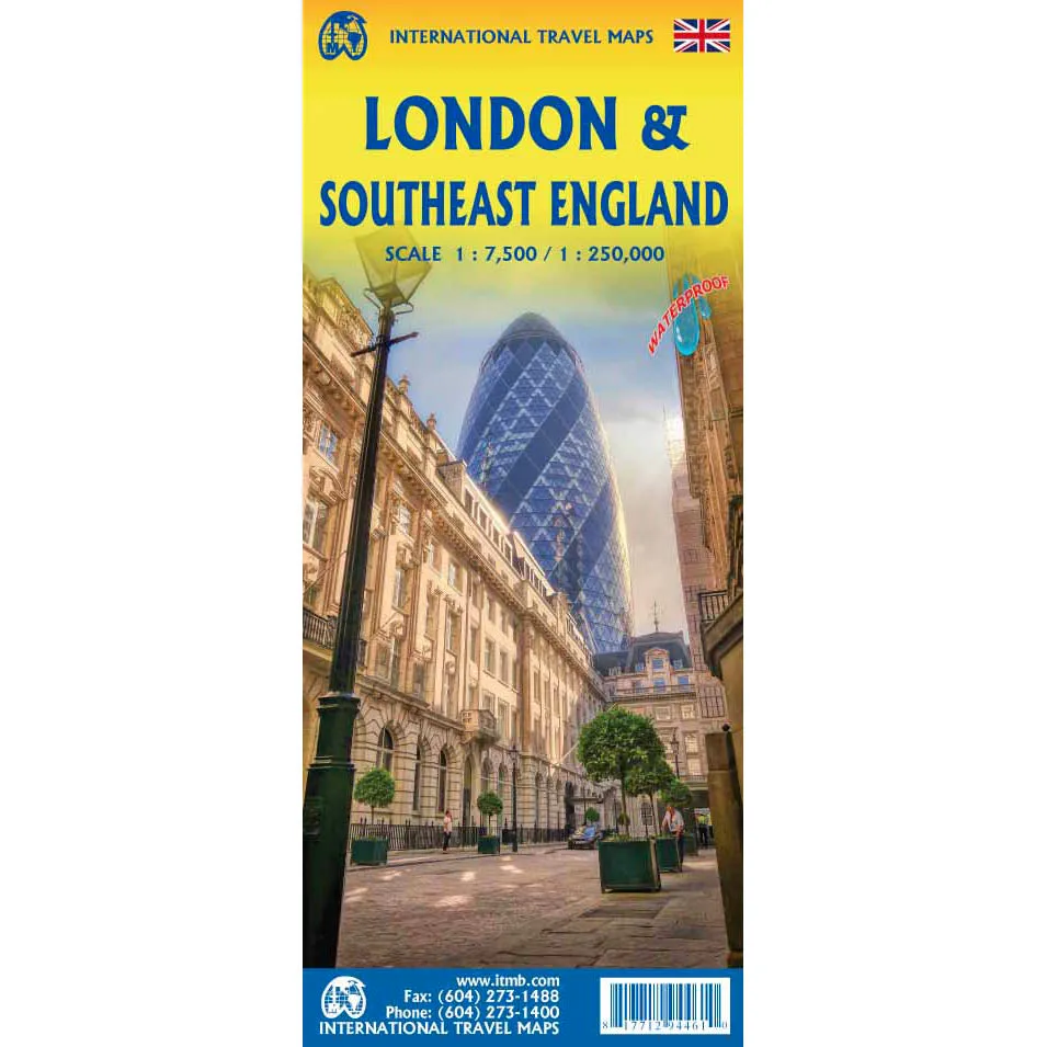
- Side 1 scale makes the map user-friendly and covers from Paddington to Tower Hill and Kings Cross to Vauxhall and contains a list of top attractions
- Side 2 covers the Home Counties in the hinterland of London. Essentially, this means from Dover west to Salisbury and from the Isle of Wight north to Bishops Stortford (site of Stanstead airport). Dozens of touristic attractions have been included, as well as a list of Top Attractions close to London. All main rail lines are shown, including the fast-line connections that are becoming dominant in the UK as well as in Europe. Finally, most tertiary laneways leading to quaint villages are shown
Discover something that makes life a little more manageable.


